NTRO Road Infrastructure Measurement

good-design-award_best-in-class_rgb_blk_logo

SALUS is a next-generation road infrastructure measurement system designed by the National Transport Research Organisation (NTRO).It replaces slow, manual pavement surveys with a fully automated, vehicle-to-cloud data pipeline.Designed for government and industry, SALUS delivers unparalleled accuracy, accelerated processing times, and significantly lower costs than conventional technologies.
view website

2.jpg
3.jpg
4.jpg
5.jpg
6.jpg
7.jpg
8.jpg
  • CHALLENGE
  • SOLUTION
  • IMPACT
  • MORE
  • Road networks represent the largest physical asset for governments. Increasing extreme weather events and higher traffic volumes are placing immense strain on these networks, demanding improved proactive maintenance strategies and accurate predictive degradation models.Historically, road scanning systems were highly inefficient. They relied on manual data processing, creating a 1-3-month lag between capture and actionable intelligence. Additionally, conventional systems suffered from high data-failure rates, such as insects obscuring camera lenses or missed route sections, requiring expensive, carbon-heavy vehicle remobilisation.The challenge was to engineer a fully automated, intelligent system to overcome these operational bottlenecks and deliver rapid, reliable insights.

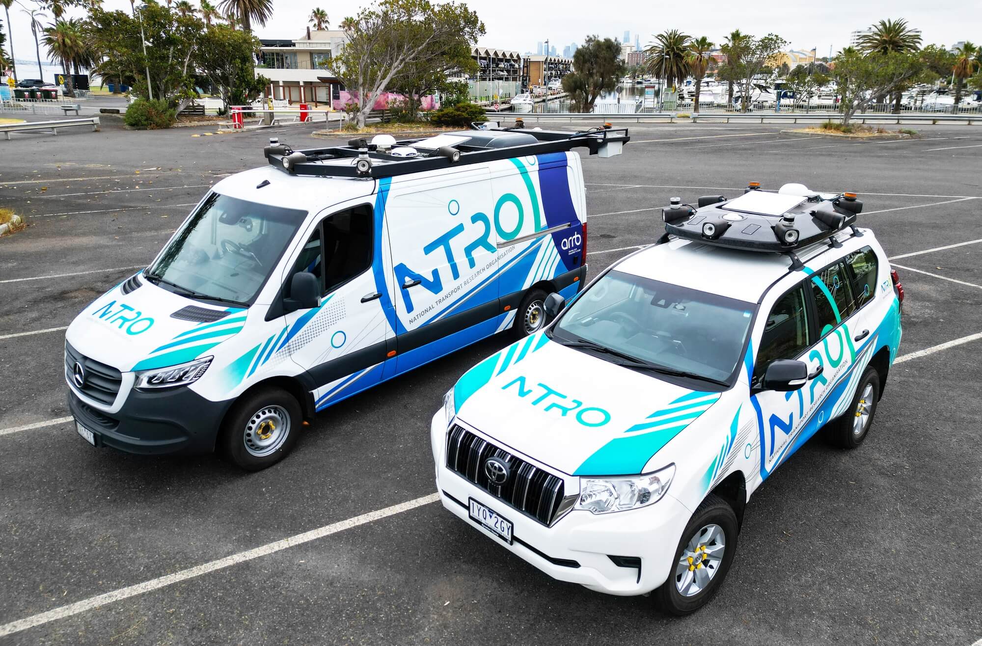
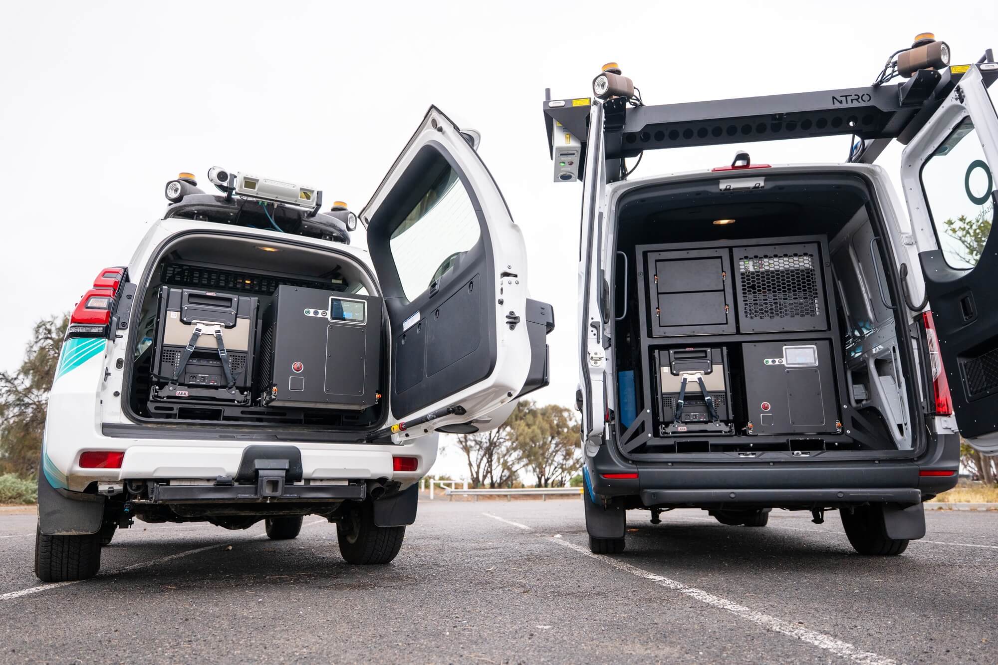
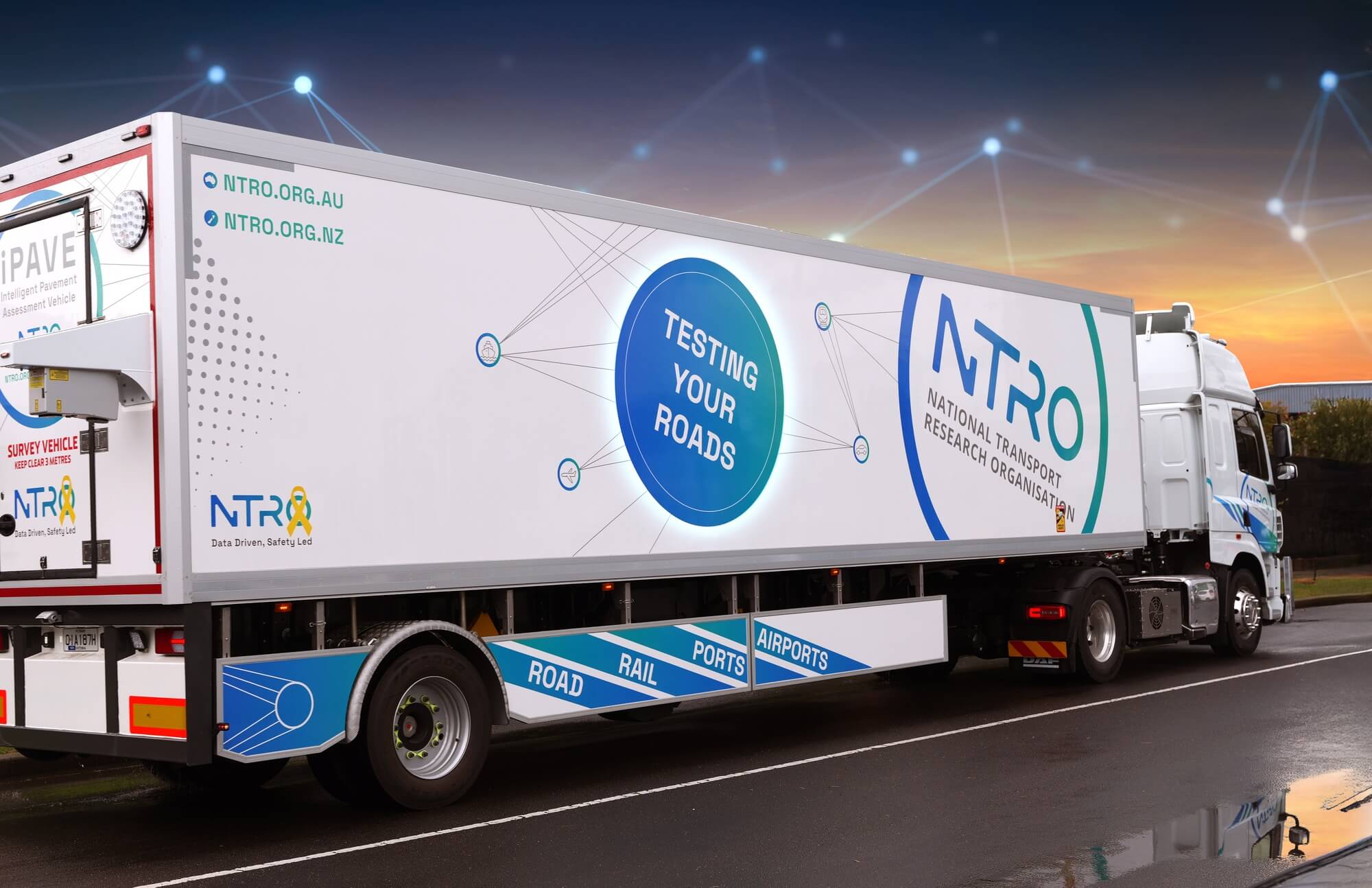
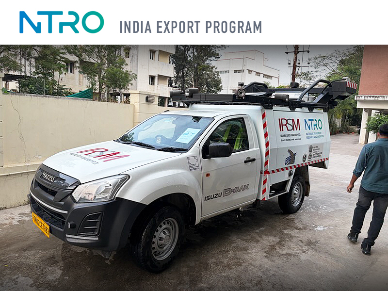
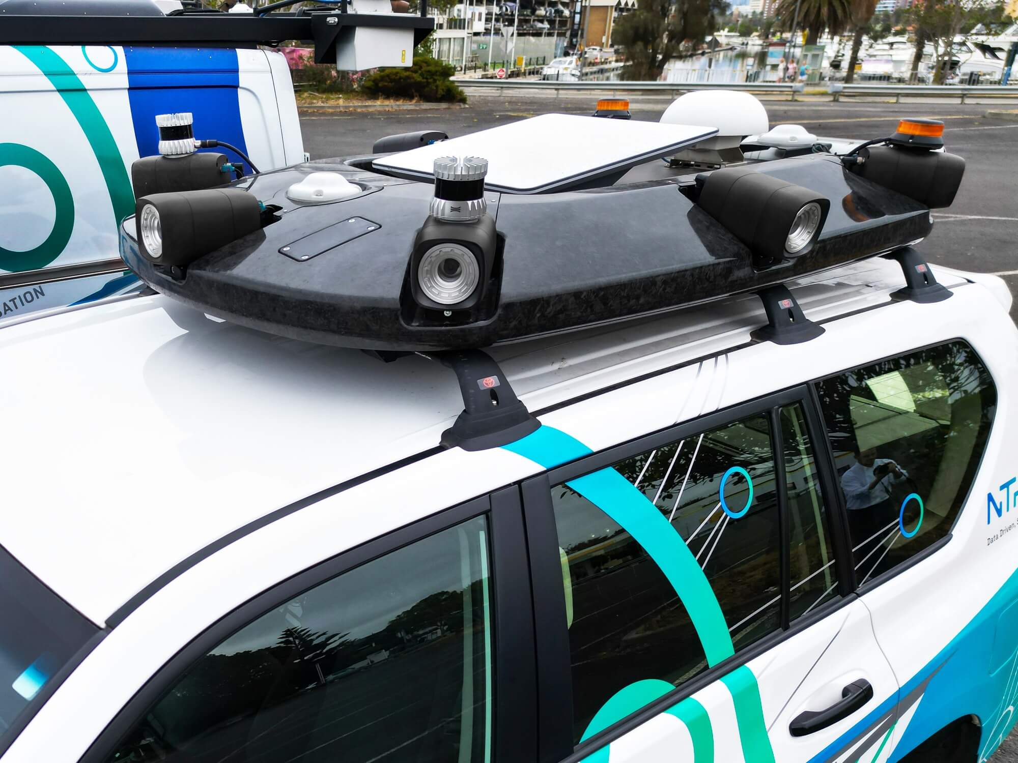
  • Designed and built in Australia, SALUS is a next-generation road infrastructure measurement system combining world-leading innovation in hardware engineering, proprietary software, intelligent data processing and high-speed communications into a seamless, high-performance analysis platform.Exclusively designed data-capture cameras integrate with an intelligent mapping system and on-board processing to capture highly detailed surface and sub-surface road condition data. The modular, scalable system is deployed across a customised fleet of vehicles, each configured for specific data collection needs.Operating at normal traffic speeds without disruption to road users, the vehicles discreetly scan road surfaces, processing and communicating near-real-time data intelligence.

  • The SALUS system captures, processes and analyses road condition data faster, more accurately and more cost-effectively than comparable solutions, dramatically reducing the lag between data capture and actionable intelligence.SALUS monitors road surface performance and durability against factors such as geotechnical conditions, climate, drainage and traffic loads. The resulting evidence-based database of road behaviour and degradation provides valuable insight for government and industry, advancing road-making science and improving construction and maintenance practices.SALUS delivers critical intelligence supporting:- Safety- Pavement condition- Reparation response time- Predictive maintenance- Capital allocation- Long-term infrastructure planning

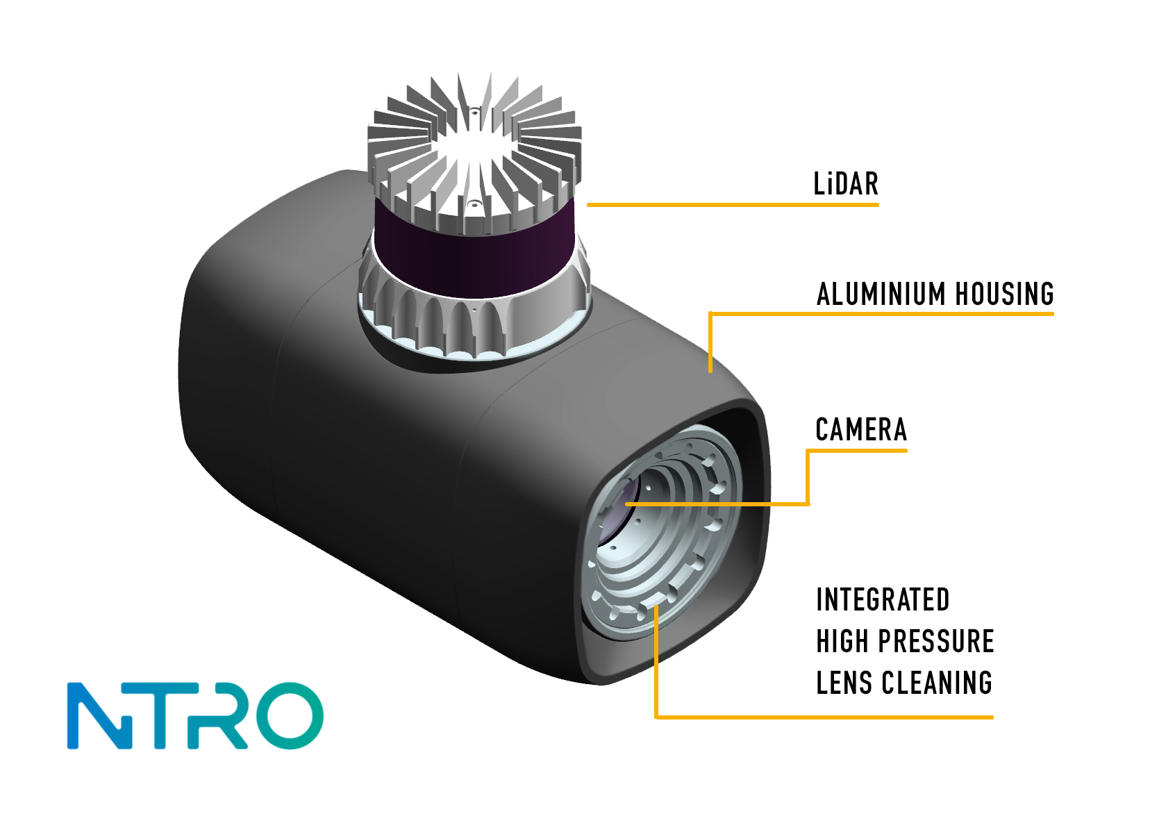
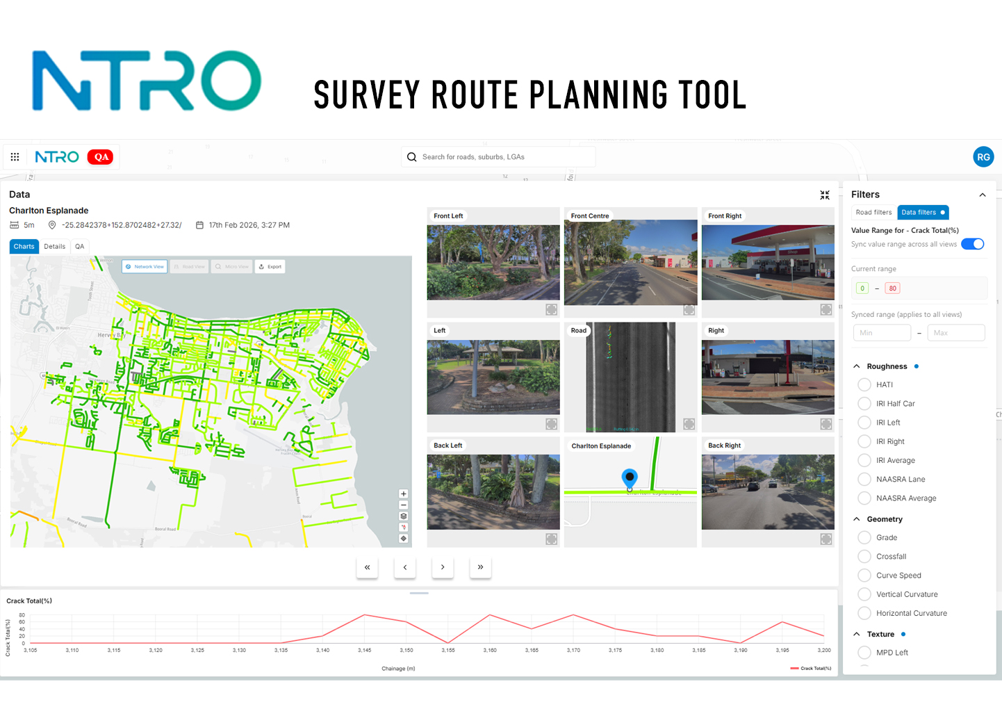
  • · AUTOMATED DATA PIPELINE: Near real-time, on-vehicle processing with direct vehicle-to-cloud uploading via 5G and Starlink accelerates data delivery to under 48 hours.· AUTONOMOUS QUALITY CONTROL: Over 100 real-time health checks continuously validate data. If a capture fails, the system automatically re-routes the vehicle for immediate re-survey, guaranteeing dataset completeness.· INTELLIGENT LENS CLEANING: Custom-engineered cameras feature high-pressure water jets and crystal lenses to autonomously clear insect debris, eliminating a major data failure mode.· HARDWARE MODULARITY: Standardised compute and power units allow rapid swap-outs and seamless integration across diverse vehicle platforms.· ADVANCED SENSOR INTEGRATION: Incorporates LiDAR, Ground Penetrating Radar (GPR), and high-resolution optical sensors to capture surface and sub-surface defects with up-to micron accuracy at highway capture speeds.· AI-DRIVEN DATA INTELLIGENCE: Leverages artificial intelligence to cross-analyse disparate datasets (e.g., pavement condition, crash statistics, and climate impacts), unlocking powerful predictive insights.· OPTIMISED LOGISTICS: A proprietary route-planning system optimises survey paths for maximum fuel efficiency, reducing total travel distances by up to 20%.· SINGLE-OPERATOR INTERFACE: A custom tablet minimises cognitive load, enabling safe, single-operator deployments.· VISUALISATION PORTAL: Transforms complex datasets into an accessible dashboard, empowering authorities to execute predictive maintenance and optimise capital allocation.